NYPL Digital Collections Tab
Extension Actions
CRX ID
jnnfgdpljkdebldkndhkeooejakfjcme
Description from extension meta
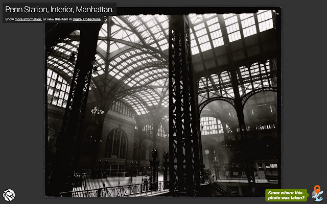
View a historic image from the New York Public Library’s Digital Collections, every time you open a new tab.
Image from store

Description from store
Know your NYC geography? Click the link at the bottom of the tab to view the image in The New York Public Library’s Surveyor tool. Geotag the image and help put New York City’s history on the map!
Surveyor is part of the NYC Space/Time Directory, which seeks to unlock the potential of historical maps and provide opportunities to explore urban history across space and time.